Unsere Klimaschutzprojekte
Unsere Klimaschutzprojekte
ocell konzentriert sich derzeit vollständig auf die Forstsoftware Dynamic Forest. Unsere bestehenden Klimaprojekte — Raben, Nonnenheide, Eußenheim und Krümmel — werden sorgfältig im Rahmen ihrer ursprünglichen Verpflichtungen abgeschlossen. Wir nehmen aktuell keine neuen CO₂-Projekte auf.
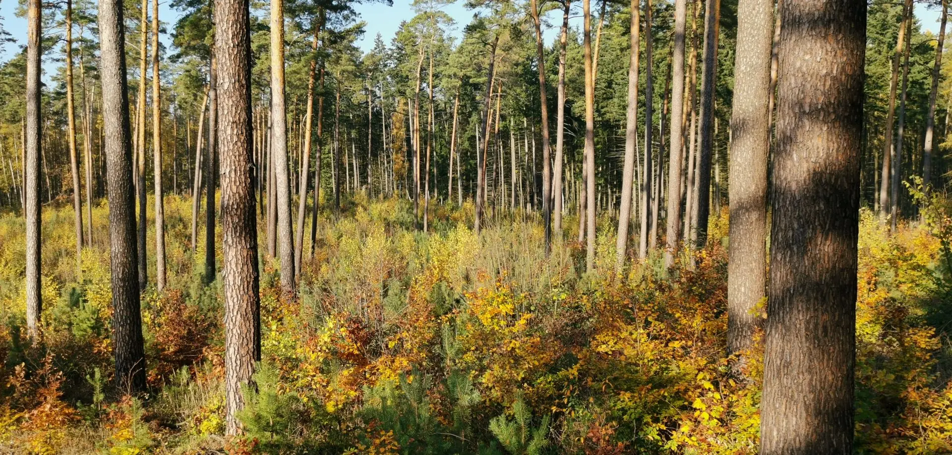
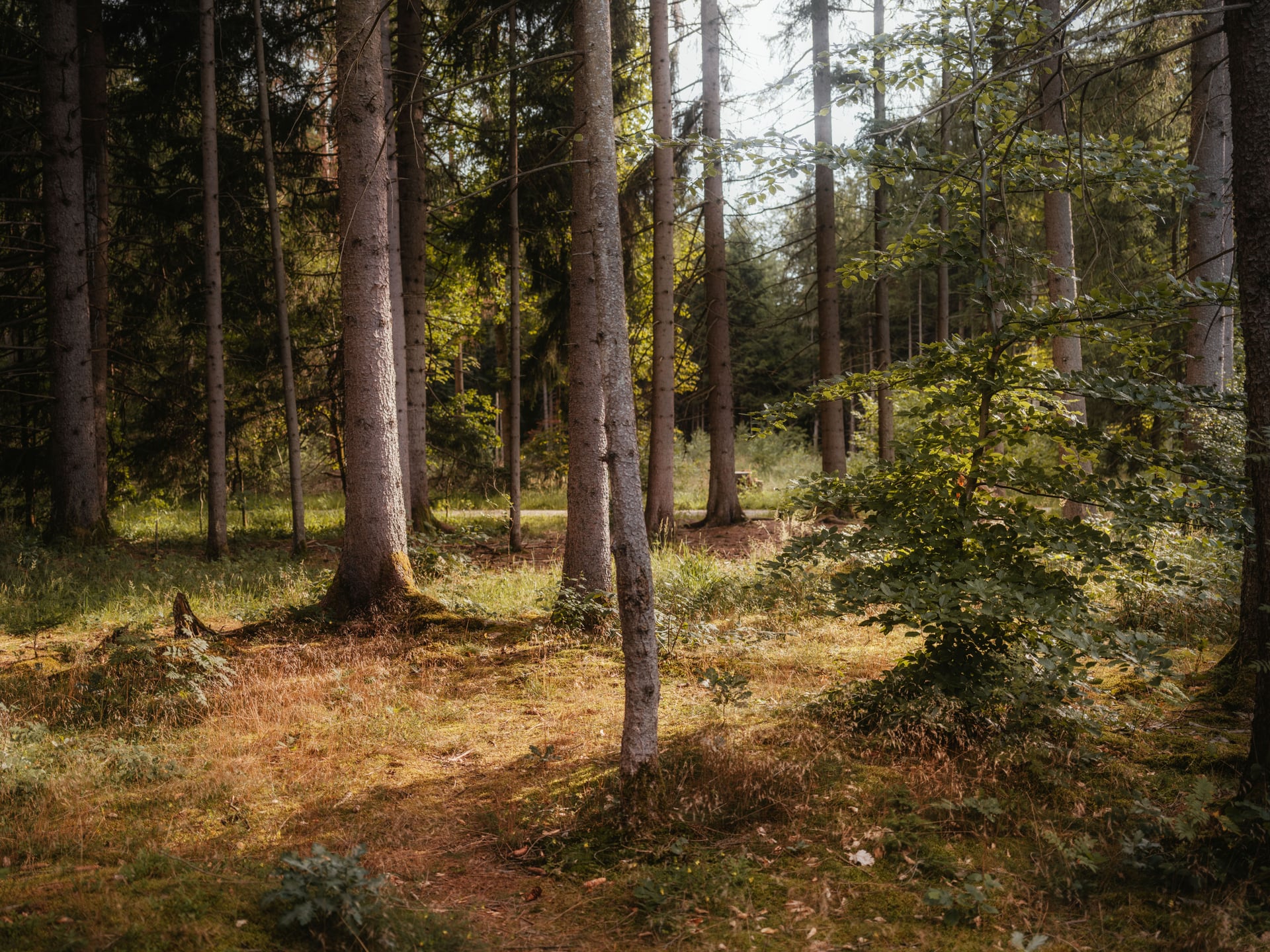
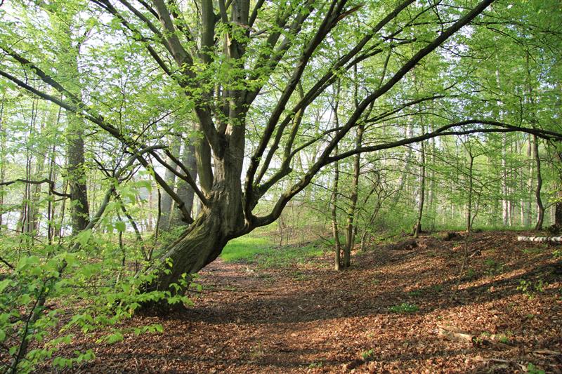
Mecklenburg-Vorpommern
Krümmel
2.334 t CO₂-Speicherung
920 ha Projektfläche
Projektstart Q1 2026