Software for Professional Forestry
Software for Professional Forestry
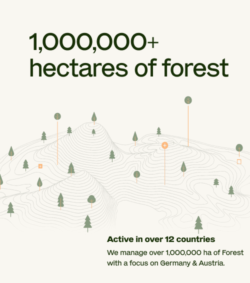
ocell is the leading solution for professional forestry. More than 1,000,000 hectares of forest are managed with our forest management software.
ocell is the leading solution for professional forestry. More than 1,000,000 hectares of forest are managed with our forest management software.


Better Data, Better Decisions
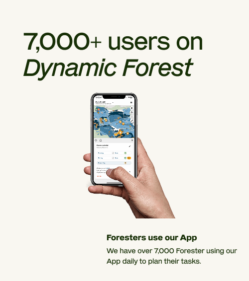
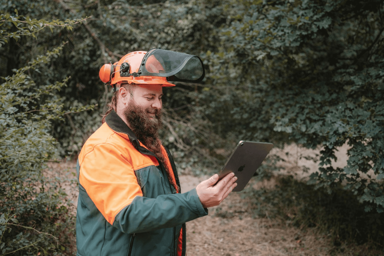
Industry's most trusted forest management software Dynamic Forest that allows you to get the comprehensive reality of your forest and manage it accordingly
 Digitize your forest and infrastructure
 Plan workflows and send work orders digitally
 Full offline availability
 Create reports and analyses about your forest asset
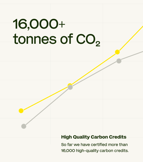
Climate Integrity, Built into Every Credit
Continuous forest data and strict verification ensure that every ocell project delivers proven, lasting impact.
 Credits issued only after verified impact
 Independent third-party audits
- MRV grounded in unmatched forest data
State Forests
Tailored digital forest management for large public forest administrations.