One Platform.
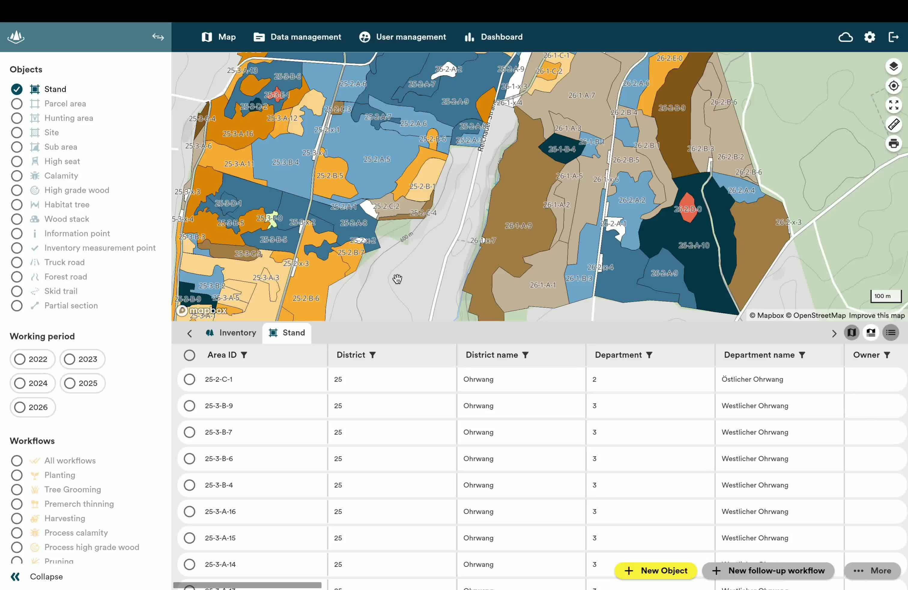
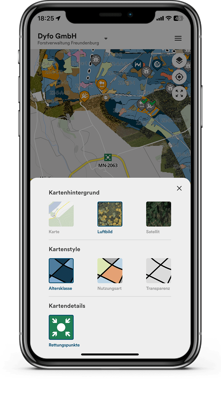
No more paper clutter. Access your interactive map at any time for a quick overview of your entire operation – from forest inventory to annual planning.
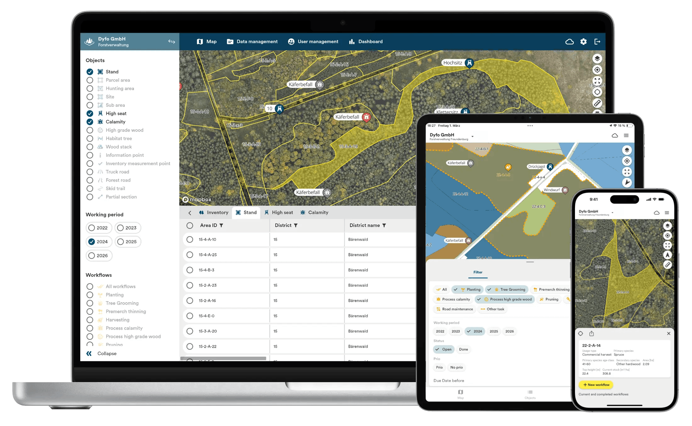
With the combination of offline map functionality and automatic synchronization, you ensure seamless data exchange with all parties involved in the operation.
All forestry data in your pocket.
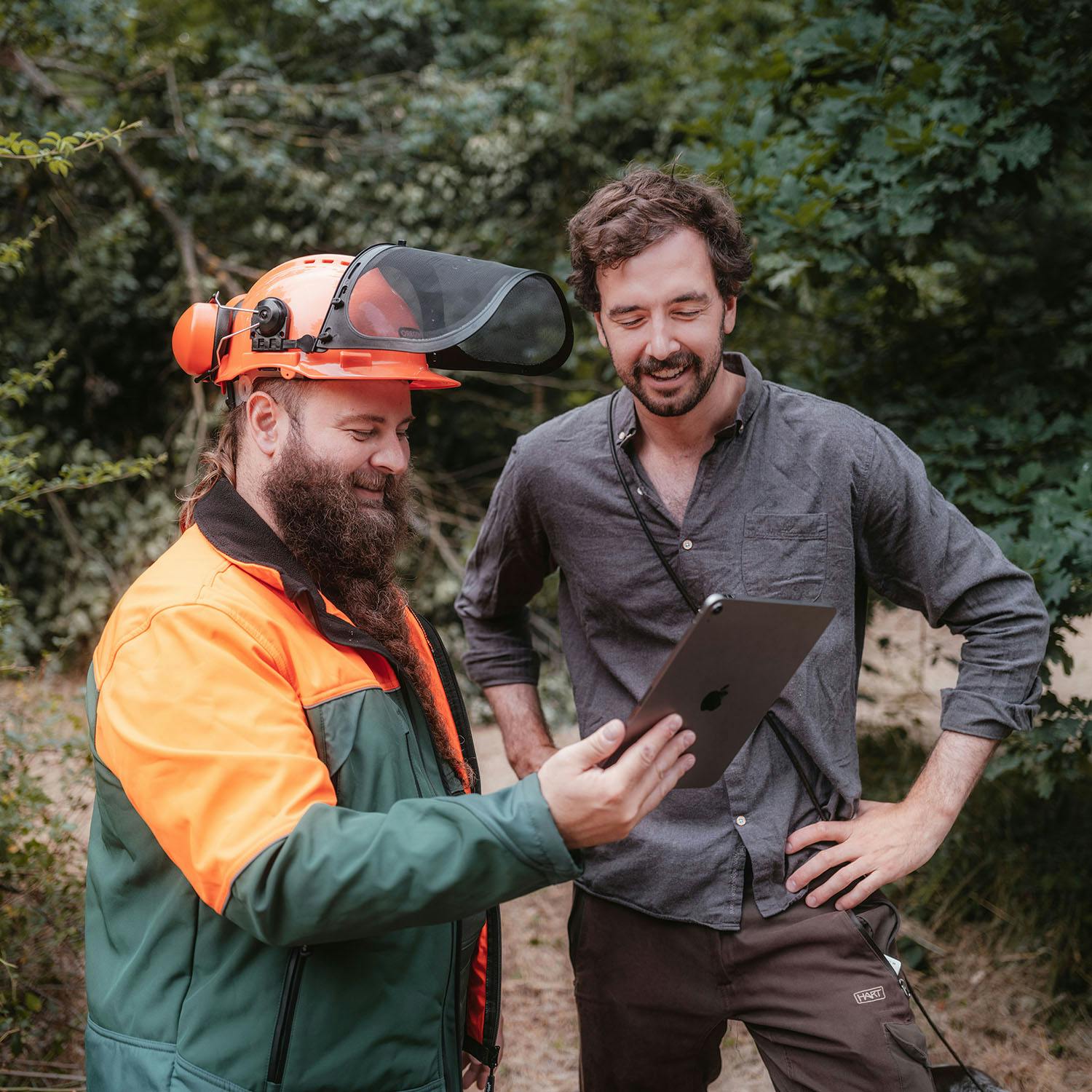
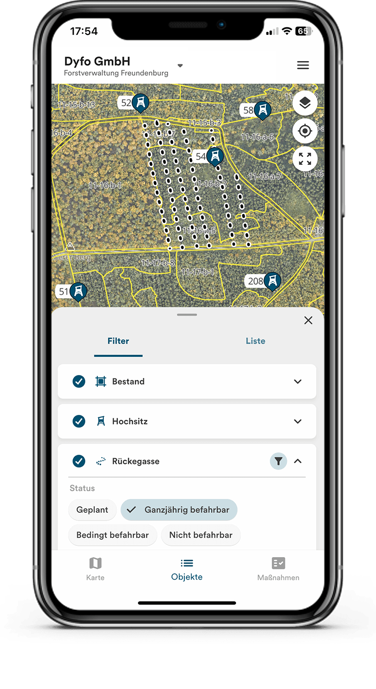
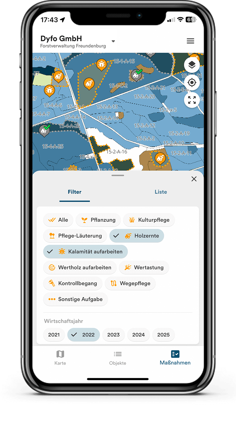
With the Dynamic Forest App, you always have the most up-to-date data of your forest management at hand. By simply filtering the maps, GIS data and information about work measures can be displayed easily and clearly. New map objects and work orders are created directly in the forest with just a few clicks and can be shared immediately with all stakeholders.
Around 3,000 forestry experts use OCELL.
Smooth processes along the entire supply chain.
Thanks to our numerous cooperation partners, we cover the entire supply chain with Dynamic Forest: From silviculture and thinning to timber harvesting and processing. This gives you a complete overview of your timber - from the plot to the sawmill.
Are you missing an interface? Feel free to contact us!
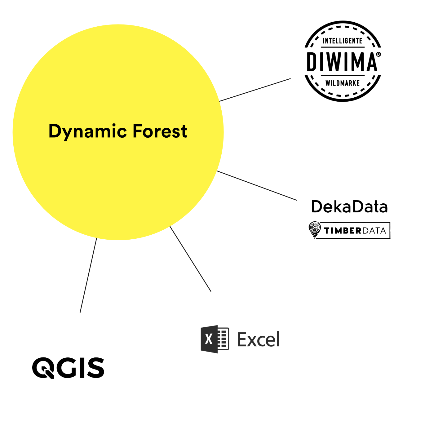
New: Supply chain integration.
Benefit from even more efficient processes thanks to our interfaces to merchandise management systems. As the first of further planned integration partners, TimberData enables automated and secure data transfer between the two systems - for even more efficient processes. Find out more.
You don't use an ERP system or TimberData?
No problem. Dynamic Forest can also be used without an ERP system and maps your processes right up to the creation of piles. If you use a (merchandise management) system other than TimberData, our open interface enables you to transfer data smoothly from your system to Dynamic Forest. Do you have any questions? Feel free to contact us!


The most important functions at a glance.
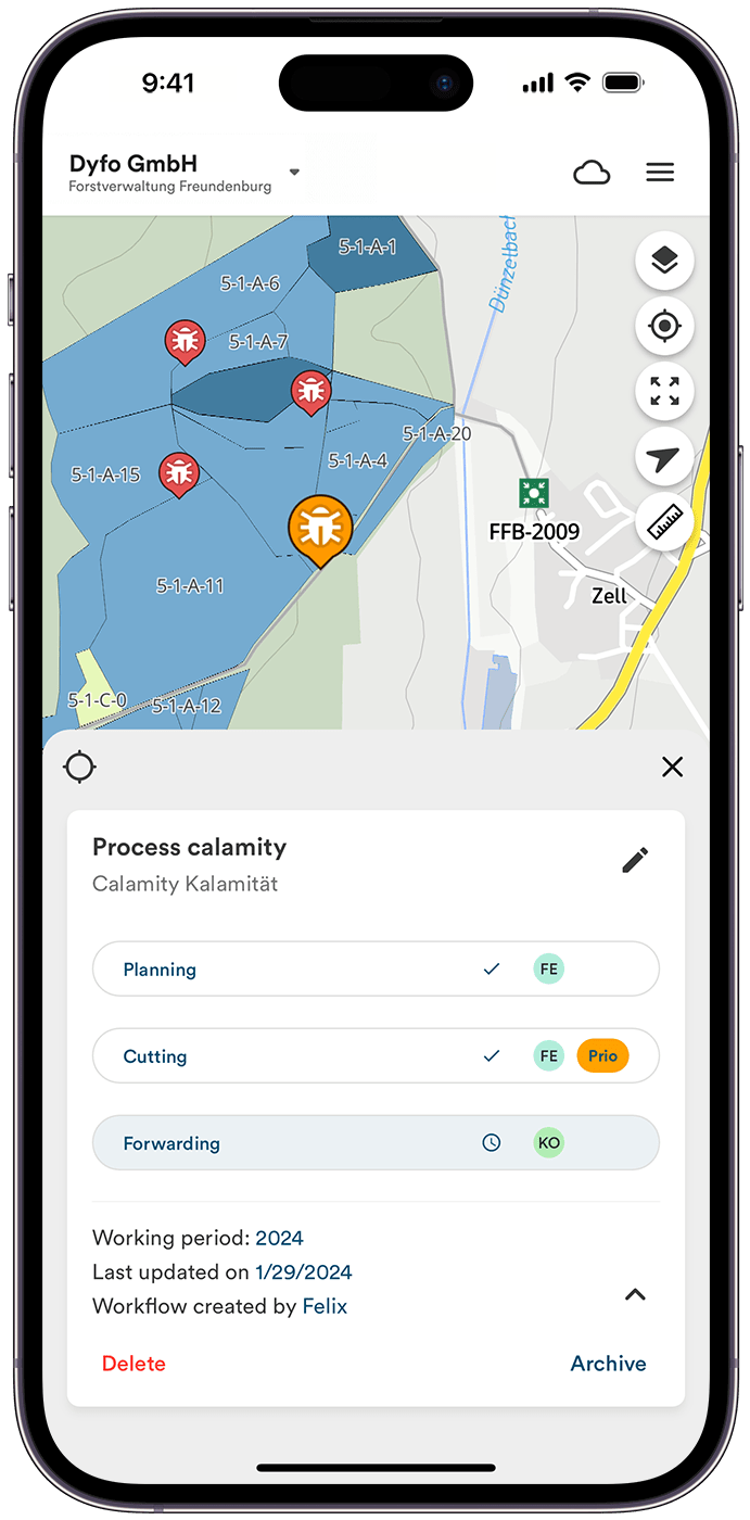
Work up calamity
Capture data, such as calamities, and exchange work instructions. Thanks to integrated planning, commissioning and confirmation of completion, you benefit from faster processing and comprehensive documentation.

Timber harvesting.
All forestry-specific processes can be handled across all devices via Dynamic Forest. From area identification, planning and implementation of measures, recording of enforcement data to evaluation in the annual overview.

Planting.
Get a quick overview of fallow land with our interactive maps and user-friendly filter options. Dynamic Forest also offers precise documentation of tree species and an overview of stand development.
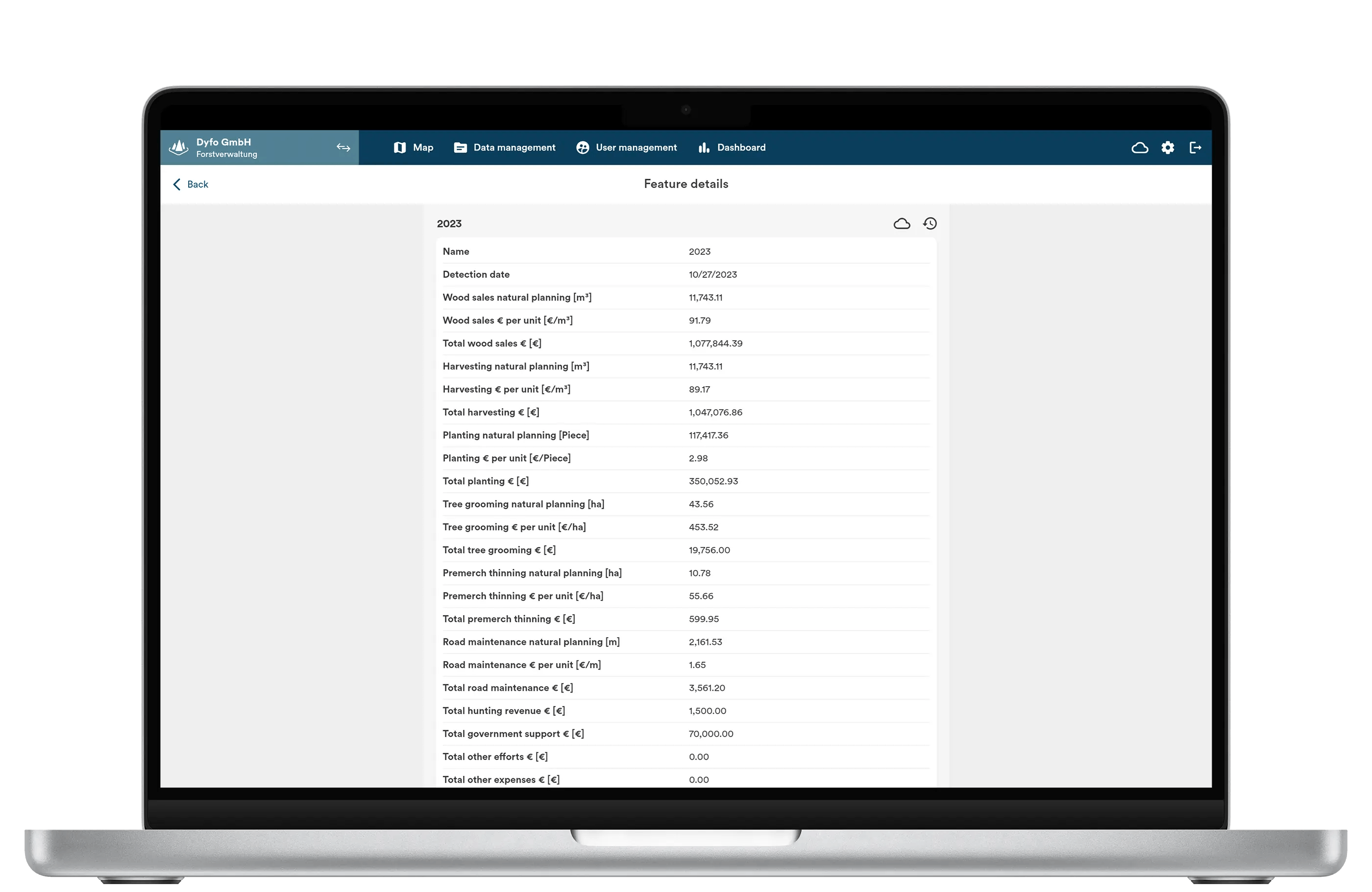
Annual planning.
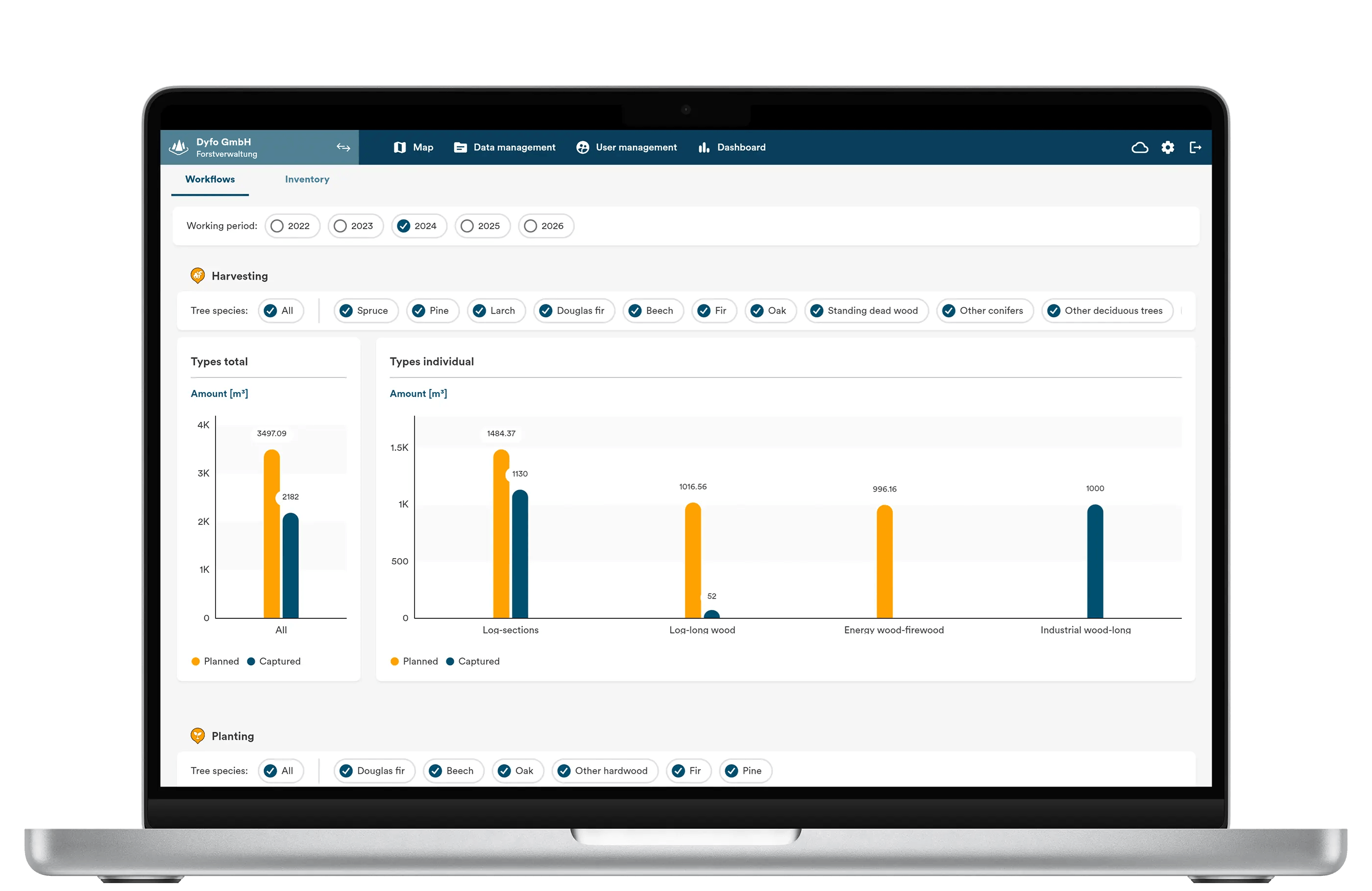
Receive an overview of the annual planning and the current status of all workflows in the district and operation. Thanks to the automated updating of our dashboards, statistics, reports, and documentation of workflows, you have a real-time overview of your operational database at all times.
Dashboards.
With our dashboards, you can quickly and easily get an overview of the current status of all ongoing processes and up-to-date figures on the current state of the forest - making annual planning a swift task. Additionally, it allows for continuous monitoring of any deviations between the planned and the current status.
The dashboards provide transparency for the manager and simplify reporting to the owners.
